Owning a GIS Software can be an expensive affair. If you are looking to learn to use a GIS Software, without investing much, here are some softwares that are freely available. However proprietary softwares like arcgis, do have their advantages, these open source softwares can be a good place to begin. Here we have listed some, where you can go to the site and explore
uDIG
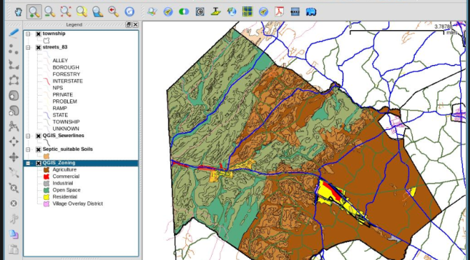
QGIS http://www.qgis.org/en/site/
OpenJump http://www.openjump.org/
gvSIG http://www.gvsig.com/en/home
TerraView http://www.dpi.inpe.br/terraview_eng/index.php
Kosmo http://www.opengis.es/
WhiteboxGAT http://www.uoguelph.ca/~hydrogeo/Whitebox/index.html
Some good softwares that can be used for remote sensing and image interpretation are
Saga-GIS http://www.saga-gis.org/en/index.html
GRASS http://grass.osgeo.org/


